Latest Version
Version
3.7.0
3.7.0
Update
February 24, 2025
February 24, 2025
Developer
AppHero B.V.
AppHero B.V.
Categories
Travel & Local
Travel & Local
Platforms
Android
Android
Downloads
0
0
License
Free
Free
Package Name
com.vaarkaartnederland
com.vaarkaartnederland
Report
Report a Problem
Report a Problem
More About Nautical map (The Netherlands)
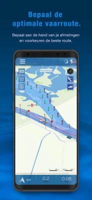
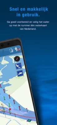
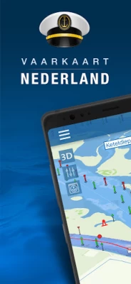
Nautical map (The Netherlands) is an online waterway chart and almanac which immediately displays all information relevant when traveling over water in The Netherlands. It is also an great tool to plan your cruise.
Nautical map NL includes:
- More than 8,000 buoys, barrels and other floating waterway markings.
- More than 4,500 docks and warfs.
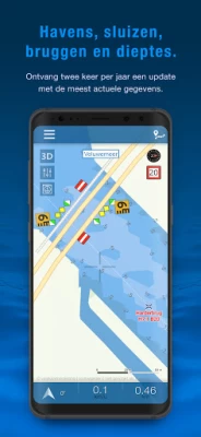
- More than 2,500 bridges, including height, width and operating times.
- More than 300 locks including operating times.
- Display of current speed and course.
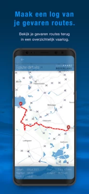
- Graphical representation of the traveled route.
Agreements: http://www.vaarkaartnederland.nl/voorwaarden
Rate the App
Add Comment & Review
User Reviews
Based on 0 reviews
No reviews added yet.
Comments will not be approved to be posted if they are SPAM, abusive, off-topic, use profanity, contain a personal attack, or promote hate of any kind.
More »


Popular Apps

APK MODInwepo.co

TOR Browser: OrNET Onion WebOrNET

GTA: Liberty City StoriesRockstar Games

Masha and the Bear Pizza MakerDEVGAME KIDS games

Merge - Connect to iPhoneMerge Solutions

Passion: Reading AppUnicorn Media Apps

Sago Mini School (Kids 2-5)Play Piknik

TelegramTelegram FZ-LLC

Asphalt 9: LegendsGameloft SE

Conflict of Nations: WW3 GameDorado Games / DOG Productions Ltd
More »


Editor's Choice

Grim Soul: Dark Survival RPGBrickworks Games Ltd

Craft of Survival - Gladiators101XP LIMITED

Last Shelter: SurvivalLong Tech Network Limited

Dawn of Zombies: Survival GameRoyal Ark

Merge Survival : WastelandStickyHands Inc.

AoD Vikings: Valhalla GameRoboBot Studio

Viking Clan: RagnarokKano Games

Vikings: War of ClansPlarium LLC

Asphalt 9: LegendsGameloft SE

Modern Tanks: War Tank GamesXDEVS LTD
